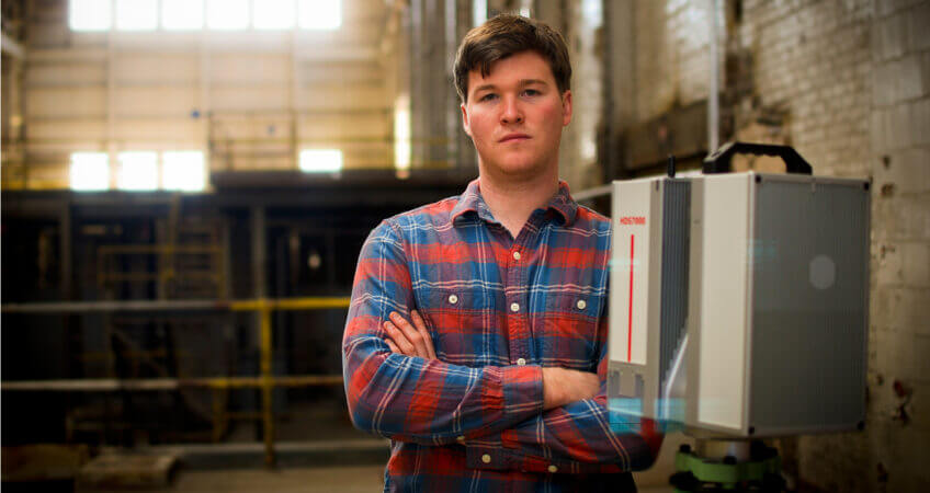
Thad Wester
Five Questions With
Thad Wester
Who is Thad Wester?
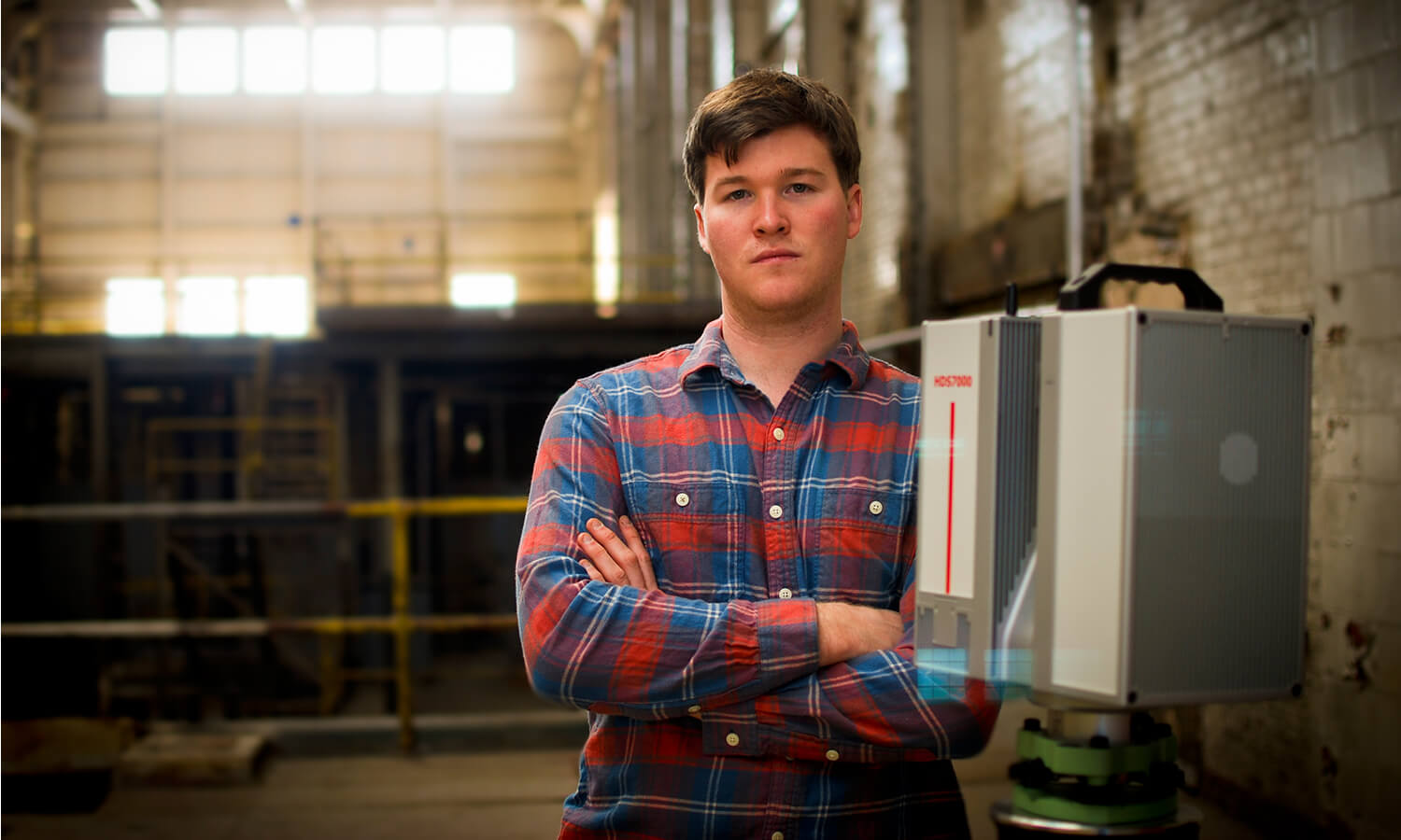
Thad Wester is a mapping consultant and President of Clarity Scanning based in Florence, South Carolina. Thad has scanned buildings, terrain and sites for forensic analysis across the United States. Thad is a recognized laser scanning expert, and as such is a contributor to several industry publications. Thad has a B.S. and M.A. in Geography from East Carolina University.
1. You started a 3D Laser Scanning company, what exactly does your company do?
We help our clients capture the existing condition of buildings and other sites accurately in 3D, and we use laser scanners to do that. The 3D images from the laser scanner (called a point cloud) are then handed over to our clients, where they can use it for design work or virtually explore the site without ever having to make a visit in person. We can also provide finished 3D models or 2D drawings to our clients, if they are not prepared to work with the point clouds.
2. So, how did you get interested in government spying?
The first time I ever scanned a building, someone came up and asked me if our scanner was spying on them. You get all kinds of crazy questions when you have a big box on a tripod on the side of the street.
3. Who would you consider this service to be most useful for?
Anyone who needs to know accurate dimensions. Our point clouds are very easy to work with, much more intuitive than entering hand measurements into CAD. But the greatest value for our laser scanning service is for complicated structures; Old sagging buildings, complex heavy industrial facilities…those types of environments. We capture detail for free when we scan; we can capture a complex facade just as easily as we can a flat wall, and that advantage gives our clients great cost savings in these environments.
4. What direction do you think this technology is headed?
Right now our laser scanners are expensive, tripod mounted and require expertise to operate. I think that in the future there will be lower cost hand-held options (maybe even your smartphone) that will allow anyone to quickly 3D image a space, and bring that 3D image into a design program where they can use it for dimensions. That is probably 2-5 years away. Right now, I see 3D imaging being requested more often by building owners (versus hand measuring), as they realize the value and savings it brings to their projects.
5. How did you get so good at magic, card tricks and unicycling?
A lot of practice and not going to class my freshman year at college :). Fortunately I have given it up, except for holidays around family and special requests from nieces and nephews!


